The Bright Angel Trail is more than just a path—it’s a journey into the heart of one of the world’s most breathtaking natural wonders. Each step takes you through layers of history, stunning landscapes, and personal discovery. For those ready to embrace the challenge, this trail offers more than views—it offers transformation. Whether you’re a seasoned adventurer or taking your first step into the wild, the Bright Angel Trail will leave you inspired and forever changed.
Starting at 6,850 feet, this legendary trail winds down 4,380 feet to the Colorado River, offering a round-trip journey of over nineteen miles. But it’s not just about the distance—it’s about the stories. The canyon’s ancient layers whisper secrets of the Earth’s past, while the trail itself is a tribute to the Havasupai people, who first carved a path into this natural cathedral.
This is where history and nature collide, creating a place unlike any other. With each turn, you’re met with views that inspire awe and moments that stay with you long after you’ve left the trailhead.
The Havasupai People originally built the upper part of the trail, to provide them with access to the water source at what is today Garden Creek at Havauspai Gardens. The Havasupai lived seasonally in this area until 1903, when they were ordered to eave by President Theodore Roosevelt, to get ready for the national park. The last of the Havasupai were forced out of the park in 1928 by the National Park Service.
Pioneers such as Ralph Cameron and Pete Berry began the first real construction work on what was then known as the Cameron Trail, with their original goal to take mining claims near Havasupai Gardens. They soon found they made more money by collecting a toll at the trailhead than they did from any mining claims. After several years when the mining claims were proclaimed as invalid, the county took over the trail and the tolls continued to be collected. In 1928, the trail became the property of the National Park Service and new improvements to the trail were completed.
Much to the disappointment of Spirit and Augustus, dogs are NOT permitted on below the rim trails, so their adventure was limited to exploring the area at the trailhead. I have hiked the Bright Angel Trail many times over the years, and each and every time I discover something new.
The Bright Angel Trail isn’t just for hikers—it’s for dreamers, seekers, and anyone ready to experience the Grand Canyon up close. Imagine standing at the trailhead as the first rays of sun stretch across the canyon walls. Every step down brings you closer to something extraordinary—wildlife you’ve never seen, rock formations millions of years old, and a silence so deep it resonates in your soul. This trail isn’t just about getting to the destination; it’s about discovering what you’re capable of along the way.
Bright Angel Trail isn’t just about the views—it’s about the life all around you. Keep your eyes open for mule deer gracefully crossing your path, squirrels darting through the brush, and even the occasional California condor soaring above. And don’t miss the subtle beauty of desert flowers blooming after a rain, adding bursts of color to this rugged landscape
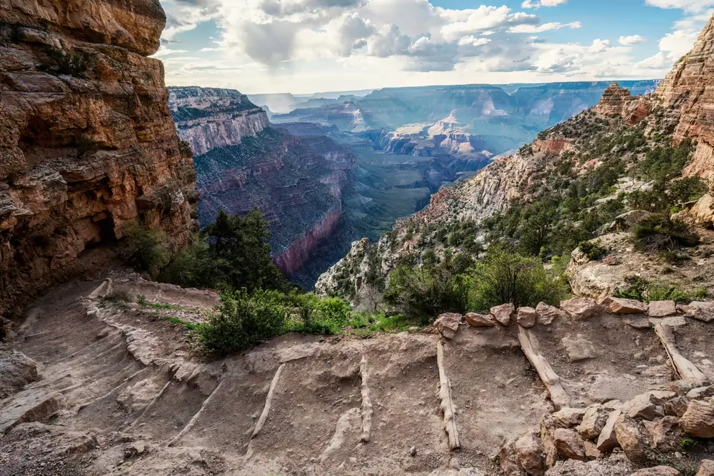
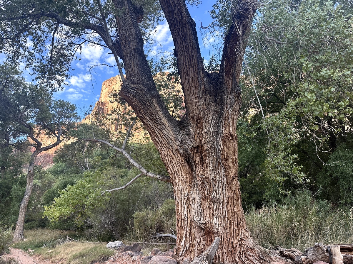
It is very important to plan your hike on the Bright Angel Trail before embarking on the journey. The information below is for DAY HIKING ONLY. If you plan to camp overnight along the trail, you MUST obtain a Backcountry Permit.
Destinations below Havasupai Gardens are not recommended day hikes due to the long distance, extreme temperature changes, and an approximately 5,000′ (1,500 m) elevation change each way.
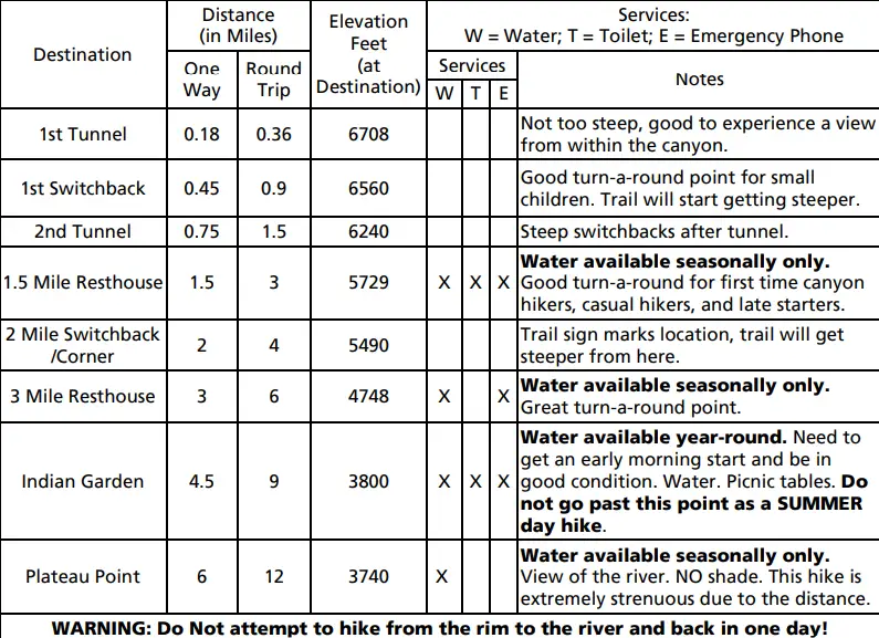
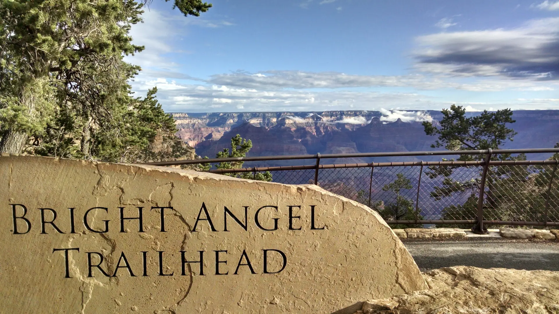
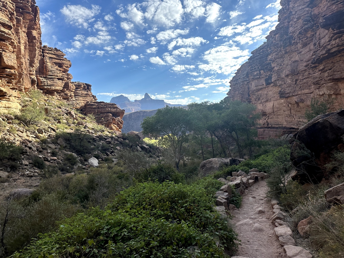
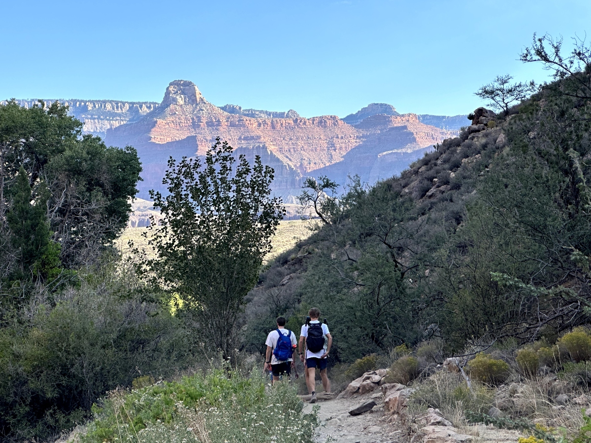
Recommended Bright Angel Trail Day Hikes
First Tunnel
0.1 miles (0.2 km) roundtrip / 20 minutes
Second Tunnel
1.8 miles (2.9 km) roundtrip / 1-2 hours / 590 feet (180 m) elevation change
Mile-and-a-Half Resthouse
3 miles (4.8 km) roundtrip / 2-4 hours / 1,120 feet (340 km) elevation change
Water available seasonally
Three-Mile Resthouse
6 miles (9.6 km) roundtrip / 4-6 hours / 2,120 feet (645 m) elevation change
Water available seasonally
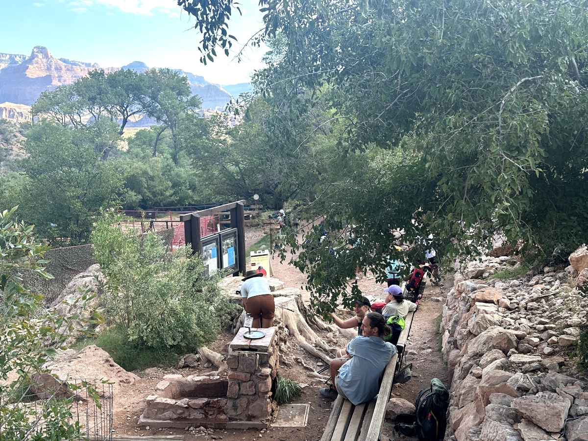
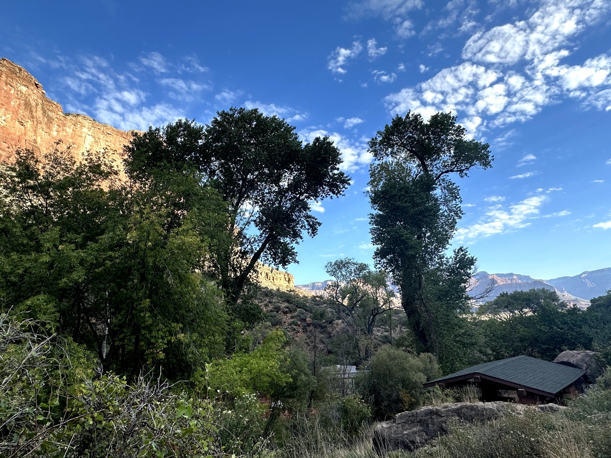
Havasupai Gardens – Check with a park ranger before attempting as a day hike.
9 miles (14.4 km) roundtrip / 6-9 hours / 3,040 feet (925 m) elevation change
Water available seasonally
Plateau Point and Trail – CLOSED for waterline construction – through 5/15/2025.
12 miles (19.6 km) roundtrip / 9-12 hours / 3,080 feet (940 m) elevation change
VIEW TRAIL CHART
The Bright Angel Trailhead is located just West of the Bright Angel Lodge, Kolb Studio, and Lookout Studio. Click for Google Map.
There is VERY limited parking at the Bright Angel Trailhead, and it fills up quickly. The best way to get to the trailhead is to utilize the Grand Canyon Blue Shuttle Bus Route. The Shuttle Bus Terminal is located on the southeast side of the Visitor’s Center Plaza. The Plaza has shade structures and benches. Parking is available in Lots 1, 2, 3 and 4. Lot 1 has pull through spaces for RVs and vehicles with trailers. View the NPS Visitor Center Shuttle Bus Page for detailed information.
You can also park at the Backcountry Information Center Lot D and take a 5-10 minute walk along the sidewalk past the Maswik Lodge to the trailhead.
The first 1.5 miles are beginner-friendly, but the full trail requires preparation and endurance.
Restrooms are available at the 1.5-Mile and 3-Mile Resthouses, as well as Havasupai Garden. View the Bright Angel Trail Chart.
Spring and fall are ideal for milder weather, while summer demands early starts to beat the heat.
Expect sightings of mule deer, condors, and various small mammals like squirrels. Keep your distance for safety. Visit our Wildlife Page for more information about Grand Canyon Wildlife.
The return ascent. It’s steep, demanding, and a true test of strength.
Yes, you can camp along the trail, but permits are required for:
Visit the Backcountry Permit Page for complete information.
KEY MESSAGES PAGE
Visit the NPS KEY MESSAGES PAGE for complete and up to date information for all trails. Information includes Water Availability, Trail Closures, Weather Conditions and More.
NPS MOBILE APP
Download the Mobile App from the NPS and always have the information you need at your fingertips. Find interactive maps, tours of park places, on-the-ground accessibility information, and much more to plan your national park adventures before and during your trip.
Check out the links below for more information about the Bright Angel Trail including mileage, elevations, hiking and more.
Bright Angel Trail Day Hike Handout
Bright Angel Trail Detailed Info